
Provided by the Greater London Authority, the ward profiles and ward atlas provide a range of demographic and related data for each ward in Greater London. They are designed to provide an overview of the population in these small areas by presenting a range of data on the population, diversity, households, life expectancy, housing, crime, benefits, land use, deprivation, and employment.
Indicators included here are population by age and sex, land area, projections, population density, household composition, religion, ethnicity, birth rates (general fertility rate), death rates (standardised mortality ratio), life expectancy, average house prices, properties sold, housing by council tax band, tenure, property size (bedrooms), dwelling build period and type, mortgage and landlord home repossession, employment and economic activity, Incapacity Benefit, Housing Benefit, Household income, Income Support and JobSeekers Allowance claimant rates, dependent children receiving child-tax credits by lone parents and out-of-work families, child poverty, National Insurance Number registration rates for overseas nationals (NINo), GCSE results, A-level / Level 3 results (average point scores), pupil absence, child obesity, crime rates (by type of crime), fires, ambulance call outs, road casualties, happiness and well-being, land use, public transport accessibility (PTALs), access to public greenspace, access to nature, air emissions / quality, car use, bicycle travel, Indices of Deprivation, and election turnout.
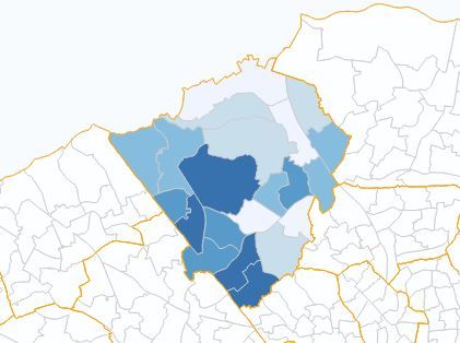
The Ward Profiles present key summary measures for the most recent year, using both Excel and InstantAtlas mapping software. This is a useful tool for displaying a large amount of data for numerous geographies, in one place.
The Ward Atlas presents a more detailed version of the data including trend data and generally includes the raw numbers as opposed to percentages or rates.
The Instant Atlas reports use HTML5 technology, which can be used in modern browsers, including on Apple machines, but will not function on older browsers.
A full version of this information, including raw data for the whole of Greater London, is available on the London Datastore.
Ward Profiles

Ward Atlas

Tips:
- - Select a new indicator from the Data box on the left. Select the theme, then indicator and then year to show the data.
- - Some legend settings can be altered by clicking on the cog icon next to the Wards tick box within the map legend.
- - The wards can be ranked in order by clicking at the top of the indicator column of the data table.
Note: Additional indicator information and sources are included within the spreadsheet and Instant Atlas report.